


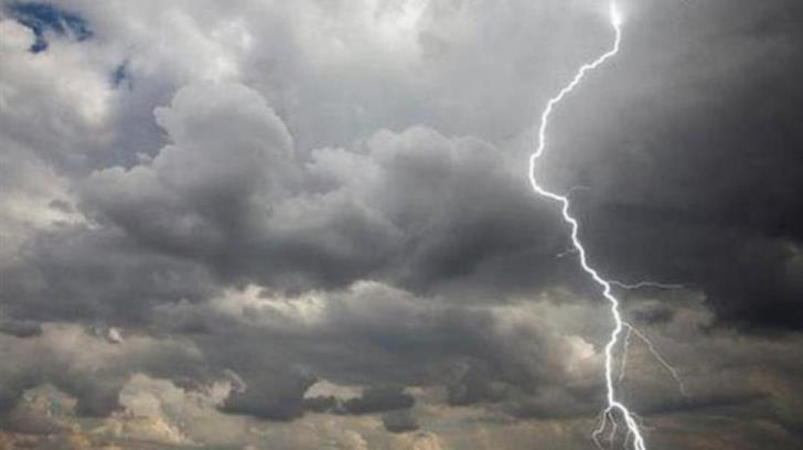
A low pressure system, remnants of the deadly Daniel system that wreaked havoc in Greece and Turkey over this past week, will be affecting the island through to at least Tueday, albeit according to the Met Office, particularly in coastal areas and over the mountains, bringing isolated showers and storms.
Mainly eastern inland regions will see the most rain, but it will be overcast everywhere, with rain from noon onwards.
Winds will mainly be light to moderate, southwesterly to northwesterly, force three to four, later turning moderate force four and gradually in southern and southwestern coastal areas, strong force force five, over slight seas.
Temperatures will rise to 35 degrees Celsius inland, 31 in western coastal regions, 33 in the rest of the coastal areas and 26 on the mountains.
Rainy spells persisting this evening, with the possibility of isolated showers, mostly in coastal regions and winds force three to four, over calm to slight seas.
19 degrees Celsius inland, 23 in coastal areas and 15 on the mountains.
The forecast pattern remains the same tomorrow with local showers and isolated storms expected, as Tuesday will initially be dry, but later turning overcast with the possibility of isolated showers, south of Troodos.
Clear skies on Wednesday towards a sunnier mid-September.
On Monday, temperatures will slightly drop below the seasonal average, but going up again on Wednesday.

