


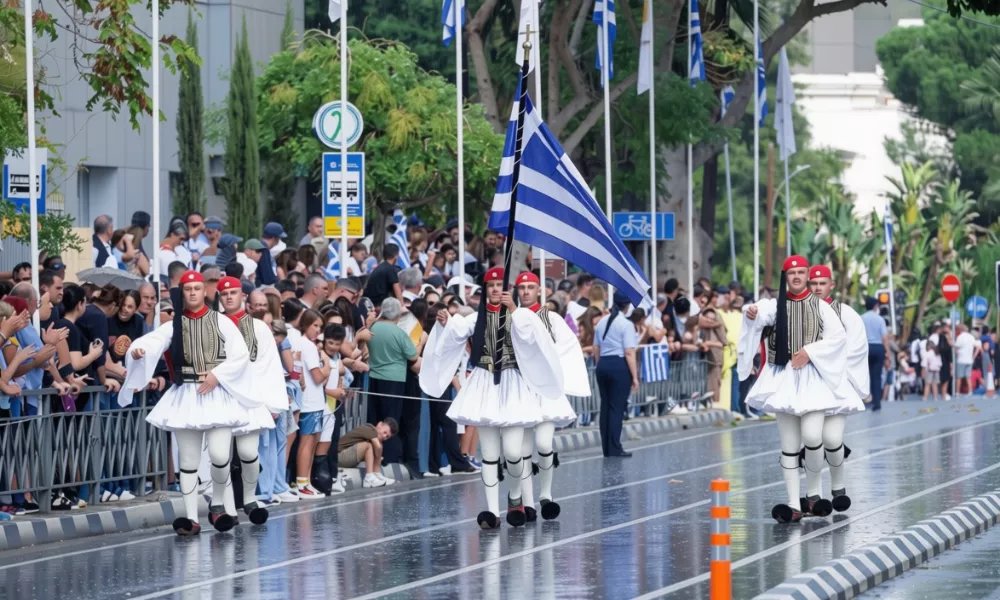
Rain and thunderstorms are expected to reach Cyprus on Tuesday night and continue through Wednesday’s October 28 parades, before peaking on Thursday with heavier downpours and storms that may bring hail.
“The parades will also be affected by this, since it starts tonight,” meteorologist Andreas Chrysanthou said. He added that coastal areas are expected to see the rain first. The unsettled weather could disrupt events marking the national anniversary, particularly in coastal towns.
Chrysanthou said he was certain a warning would be issued for Thursday, possibly as early as Wednesday, so that the relevant services and the public are informed in good time.
Wednesday’s rain and storms are not expected to be particularly heavy, and Chrysanthou said nothing intense or extreme was expected. A warning could still be issued during the day if the criteria are met, he added.
On Tuesday, isolated showers and storms are expected, mainly in the mountains and the north of the island. The picture changes on Tuesday night as the disturbance affecting Greece moves towards Cyprus, Chrysanthou said. Rain and storms will start on the west and north coasts and gradually spread to other areas.
The change is caused by a cut-off low that formed north of Greece and is moving towards Cyprus, bringing rain and storms.
Temperatures are expected to fall to about two to three degrees below the seasonal average over the coming days. The drop will be felt both during the day and in the evening, with lower temperatures lasting until Friday.
Rain is expected to ease significantly on Friday and Saturday, though isolated showers cannot be ruled out. Fresh local showers are possible on Sunday, mainly inland and in the mountains.
The outlook for Monday remains uncertain and will become clearer in forecasts over the coming days, Chrysanthou said.
Read more:

