


Scientists at The Cyprus Institute have developed an artificial intelligence system that has mapped nearly one million trees across Cyprus, marking a significant advance in forest management and climate research.
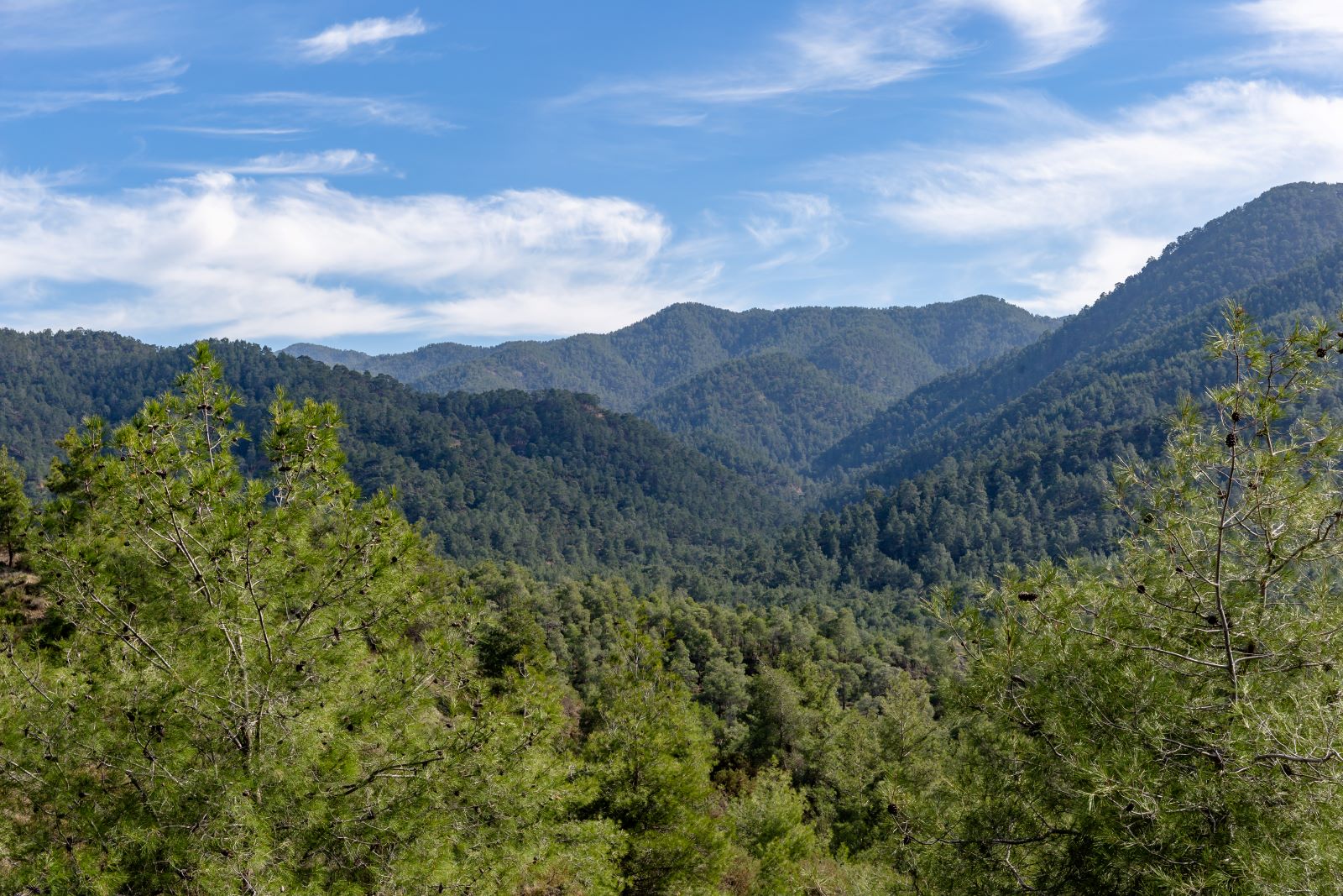
The pioneering study, which covered 107 square kilometres, used deep learning models to analyse high-resolution aerial photographs, creating detailed tree maps of the Troodos National Forest Park and Athalassa Forest Park, as well as a residential area in Aglantzia.
The research collaboration, involving the Institute’s Climate and Atmospheric Research Centre (CARE-C), France’s Laboratory of Climate and Environmental Sciences (LSCE), and the University of Copenhagen, represents the first comprehensive tree mapping exercise in Cyprus.
The AI model, specifically trained on local data, enables precise measurement of individual tree crowns and total forest coverage across the Republic of Cyprus. This data will support critical environmental initiatives, including forest fire management, endemic species analysis, and reforestation efforts.
The project, funded by the European Union’s Horizon Europe Edu4Climate programme, will also facilitate the first accurate calculation of forest biomass in Cyprus, contributing to the EU’s carbon dioxide emission reduction targets.
The research provides tools for government agencies to implement targeted environmental measures and advances understanding of carbon absorption by trees, supporting Cyprus’s response to climate change challenges.

