


A weak low-pressure system and an unstable air mass continue to affect the region.
Early this morning, thicker low cloud — mainly in the west — may produce isolated rain. Through the middle of the day, skies across most of the island will be mainly clear with passing cloud, though cloud building in the south and east is expected to bring isolated showers and possibly a thunderstorm. Hail cannot be ruled out in any thundery downpours.
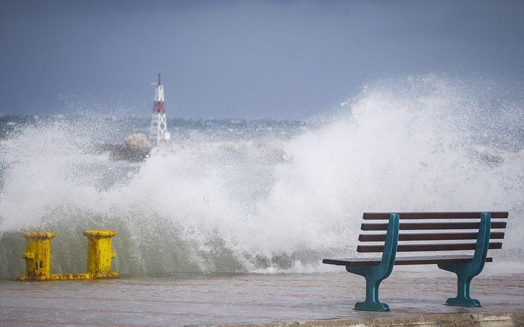
Winds will be south-westerly to north-westerly, generally moderate to fresh at force four to five, with gusts along the southern and eastern coasts reaching strong to near-gale force five to six during the afternoon. The sea will be slight to moderate.
Temperatures will reach around 31°C inland, around 29°C on the south-eastern and eastern coasts, around 25°C on the south-western, western and northern coasts, and around 20°C in the higher mountains.
On Saturday, Sunday and Monday, cloud will build at intervals during the afternoon, bringing local showers and isolated thunderstorms — mainly in the mountains, in areas west and south of Troodos, and in parts of the interior.
Temperatures are not expected to change significantly, remaining close to seasonal average values.
Read more:

