


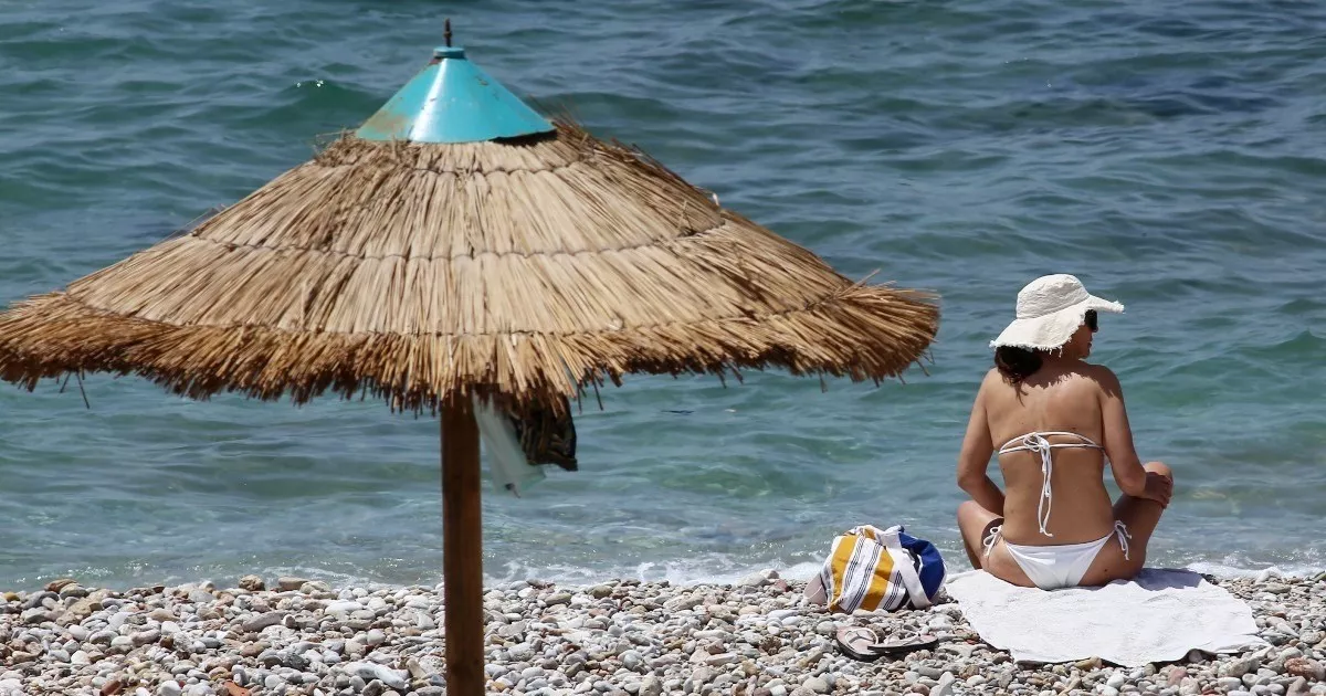
The summery setting continues across the island and according to the latest Department of Meteorology forecast, it’s set to stay at least over the next few days. Mid-week however will see a change of scenery with a significant drop in temperatures.
Hazardous dust persists, with high concentrations at intervals, but if on the mountains, expect isolated light showers in certain areas.
Temperatures will rise to 36 Celsius inland, 27 in western coastal regions, 31 in the rest of the coastal areas and 26 on the mountains, with high cloud at intervals.
Sunny through the day tomorrow, with around the same range of temperatures, with more of the same for most of Tuesday, but isolated showers are forecast from late afternoon onwards mostly on the mountains, but also some inland areas.
Summery gives way to breezy and showery on Wednesday, with isolated storms in the afternoon, affecting inland regions, the southern coast and mountainous areas.
Temperatures will plummet from summer like highs in mid-week, at least 7 to 8 degrees, to around the seasonal average.

