


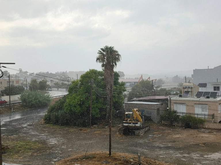
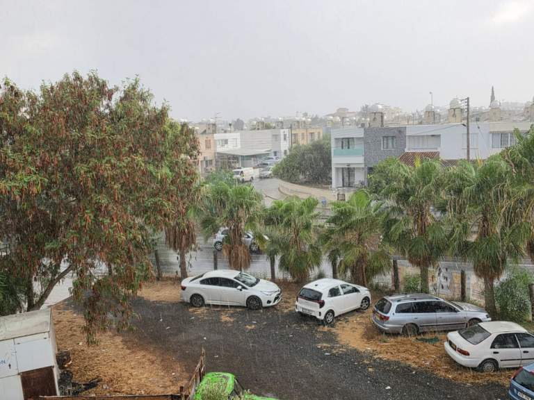
Heavy August rain swept across Nicosia and Larnaca on Monday afternoon, causing water to accumulate on roads and prompting repeated police warnings to motorists.
The Fire Service said it was responding to a number of calls across Nicosia district as intense rainfall affected the capital.
Emergency crews were called to clear stormwater drains, pump water from flooded basements and assist people trapped in vehicles on flooded roads.
Calls were also received concerning sparking Electricity Authority of Cyprus cables.
The incidents were concentrated in Makedonitissa, Engomi, Lakatamia, Strovolos and Agios Dometios, according to the Fire Service.
Torrential rain began falling across several parts of the capital at around 4 pm, while intense rainfall was also recorded in Larnaca.
Police warned of water accumulating on Griva Digeni Avenue in Nicosia. Video obtained by philenews also showed substantial water building up along 28 October Avenue.
Earlier downpours hit motorway
The latest rainfall followed downpours earlier on Monday along the Nicosia–Limassol motorway, particularly near Kornos and Kofinou, where visibility was significantly reduced.
Police urged drivers to slow down, maintain safe distances from vehicles ahead and exercise particular caution.
August rainfall reached 41% of monthly average
Before Monday afternoon’s downpours, average rainfall across the government-controlled areas between 1 August and 9 am on 17 August stood at 1.2 millimetres, equivalent to 41% of the monthly average of 2.9 millimetres.
Preliminary Meteorological Department figures showed that Saittas recorded the highest total during the previous three days, at 13.9 millimetres, followed by Platania with 13.2 millimetres. The island-wide average during the period was 1.1 millimetres.
Saittas had reached 103% of its local August average, while Platania stood at 96%. Athienou recorded nine millimetres, equivalent to 360% of its monthly average, and Lythrodontas received seven millimetres, or 233%.
Further thunderstorms and possible hail forecast
Further unsettled weather is forecast for Tuesday. The day is expected to begin mainly fine before developing clouds bring local rain and isolated thunderstorms around midday and during the afternoon, mainly over the mountains and inland.
Hail is possible during thunderstorms, while winds could strengthen to force 5 along exposed coasts and in storm-affected areas.
Temperatures are forecast to reach around 34°C inland, 30°C on the western and south-western coasts, 32°C along the remaining coasts and 25°C in the higher mountains.
Wednesday will be mainly fine, although isolated rain or a thunderstorm may develop over the mountains and inland. Mainly fine conditions are expected on Thursday and Friday, with temperatures rising above seasonal averages by the end of the week.
Read more:

