


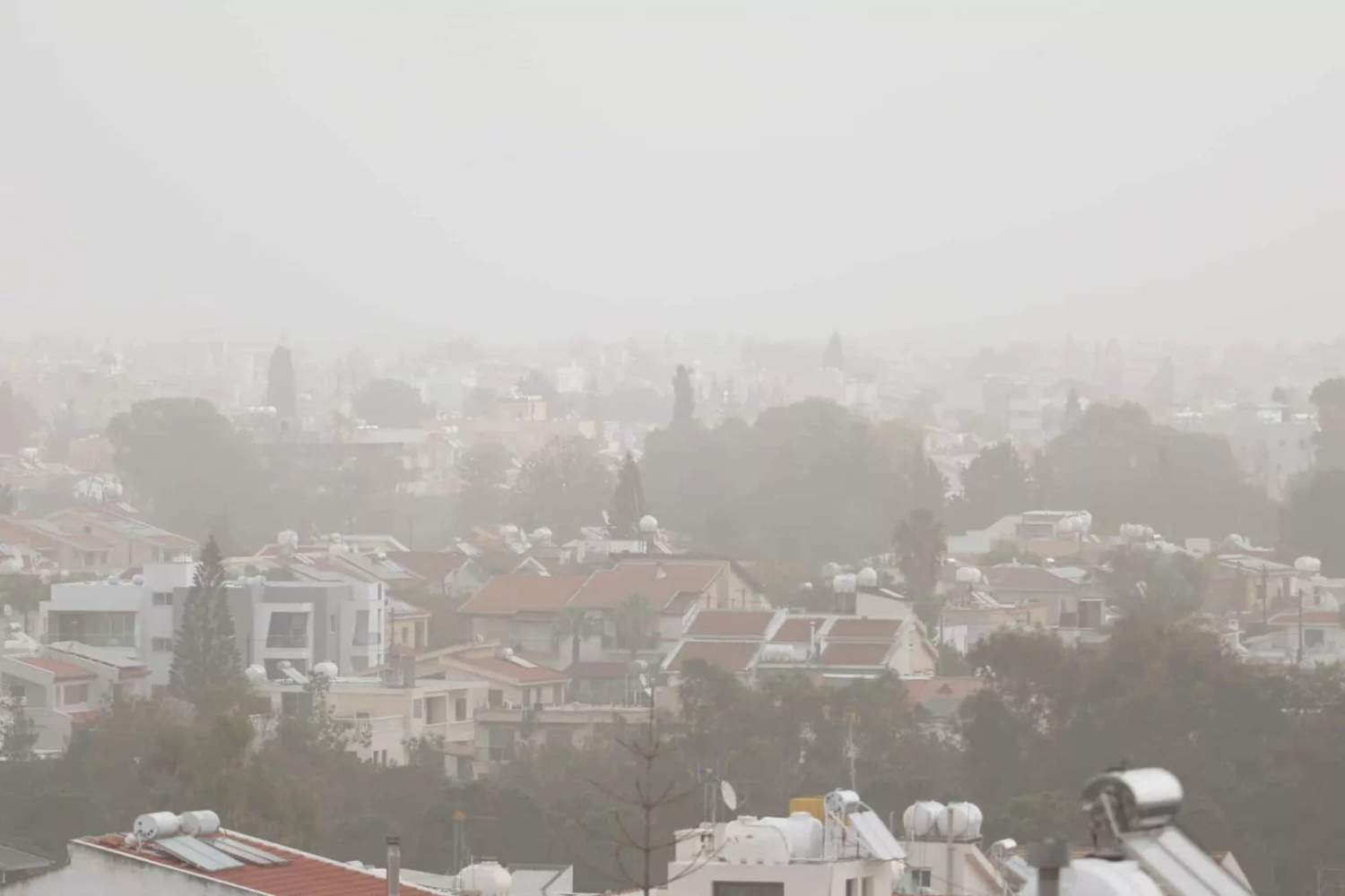
A low pressure system centred over the Aegean is moving northeast and will temporarily affect the region. Dust will be present in the atmosphere, at times increased, until the evening.
Today, low cloud, light fog or fog will initially be observed, mainly inland. Gradually, the weather will become mainly cloudy with local rain and isolated thunderstorms, mainly after midday. Hail may fall during thunderstorms.
Winds will blow mainly southwesterly to westerly, light to moderate, force 3 to 4 Beaufort, however in the afternoon they will become moderate to strong, force 4 to 5 Beaufort, and on the coast temporarily up to very strong, force 6 Beaufort. The sea will be up to rough, but in the west and north it will become up to very rough.
Temperatures will rise to around 20 degrees Celsius inland and on the coast, and 9 degrees in the higher mountains.
On Tuesday, increased cloud is expected to bring isolated rain in the west initially, however by midday the weather will become mainly fine. On Wednesday, the weather will be mainly fine. On Thursday, locally increased cloud will be observed.
Temperatures are expected to drop on Tuesday and show no significant change until Thursday, fluctuating slightly above average seasonal values.

