


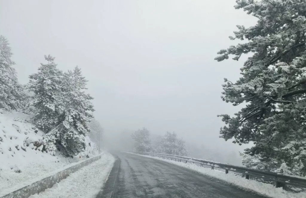
A low pressure system is affecting the area, bringing steady snowfalls on the mountains, local showers and isolated storms set to continue at least until New Year’s Eve in a frosty cold snap, according to the latest Department of Meteorology forecast.
So stormy conditions throughout today, with snowfalls on the highest reaches of Troodos. Winds will initially be northeasterly to southeasterly light to moderate force three to four, later turning southwesterly to northwesterly over slight seas.
Temperatures will rise to 14 degrees Celsius inland, 16 on the southern and eastern coastal regions, 18 in the west and north and four on the mountains, where frost will form.
Isolated showers and storms forecast this evening, mostly in coastal regions, as winds will turn light westerly to northwesterly, force three to four over slight seas. Temperatures will drop to 4 Celsius inland, 7 in coastal regions and minus 3 over the mountains, with frost in mountainous as well as semi-mountainous regions.
Isolated showers and storms will continue tomorrow, as will snowfalls, with the same outlook running through at least to New Year’s Eve.
Temperatures will rise slightly, near the seasonal average.

