


The low-pressure system “Alexandros,” currently centered northeast of Rhodes, is moving slowly eastward and will continue to affect the region through tomorrow, bringing unstable weather conditions.
Tonight’s Forecast:
The weather will remain mostly cloudy with periods of rain and isolated thunderstorms, particularly intense in some areas before subsiding to coastal regions. Hail is possible in thunderstorms.
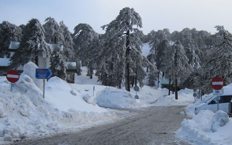
Pockets of dense low clouds or fog may form, while sleet or snow could occur on the highest peaks of the Troodos Mountains. Winds will blow mainly southwest to northwest at 3–4 Beaufort, reaching moderate levels of 4 Beaufort in exposed areas.
The sea will be slight to moderately rough, especially along the west and north coasts. Temperatures will drop to 11°C inland, 15°C on the west coast, 12°C in other coastal areas, and 5°C in the mountains.
Tomorrow’s Weather:
Intermittent cloud cover will persist, with local showers and isolated thunderstorms likely, especially in the west, north, mountains, and eventually other areas. Sleet or snow may fall on the Troodos peaks.
Winds will remain southwest to northwest at 3–4 Beaufort, occasionally reaching 5 Beaufort near windward coasts. The sea will range from slightly to moderately rough, with rough patches in the west. Daytime temperatures will rise to 21°C inland, 22°C along the coast, and 10°C in the mountains.
Extended Outlook:
- Tuesday: Scattered clouds, particularly in the afternoon, may bring isolated showers or thunderstorms. Temperatures will remain steady.
- Wednesday: Initially clear skies, followed by localized clouds that could lead to isolated showers. A slight temperature rise is expected, but it will stay near seasonal averages.
- Thursday: Partly to mostly cloudy conditions with isolated showers or thunderstorms. Temperatures will continue their gradual increase but remain near the climatological norm.

